
Showcase
Your business history, territory coverage, and proven strengths.
YOUR COMPANY. YOUR DIGITAL PRESENCE.
Field engineering precision for property boundaries, mapping, and title deeds.
Website design for rural land surveyors, geodetic engineers, and drone mapping specialists, showcasing GNSS accuracy, environmental compliance, and legal boundary surveys.
Your brand · Mobile experience · Direct contact
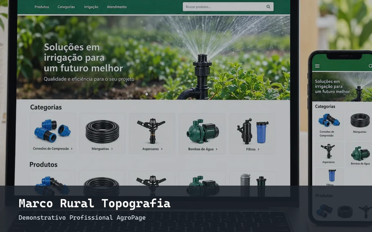
BEFORE FIRST CONTACT
Rural property owners require legally certified surveyors for boundary demarcations, subdivision, and registry compliance. A high-authority engineering website gives landowners confidence before requesting a survey estimate.
Your business history, territory coverage, and proven strengths.
Services, project phases, and guidelines for an initial consultation.
A direct, low-friction path to message your sales reps.
STRUCTURED FOR RURAL LAND SURVEYING & GEOREFERENCING
Recommended site blueprints. Pages and deliverables are finalized with you in your proposal.
Licensed survey engineers, certified GNSS equipment, and technical accreditations.
Rural boundary surveys, land title regularization, and cadastral registration.
High-density elevation models, contour lines, and precision drainage mapping.
Intake instructions for coordinates, property deeds, and survey scope.
AUTHENTIC BRAND IDENTITY
Photos of differential GNSS base stations, geodetic boundary monuments, and aerial elevation contour maps showcase technical precision.
The presentation pairs your brand with clear navigation tailored to agricultural buyers. Screen mockups are illustrative; final deliverables are customized for your company.
FROM SEARCH TO CONVERSATION
Visitors explore your specialized technical services and coverage zone. When clicking to WhatsApp, they already have context on what they need.
Plan my websiteHello! I found your surveying firm and would like to request an estimate for georeferencing and boundary regularization of our farm.
Direct negotiation continues with your staff.FOUNDATION FOR YOUR DIGITAL REACH
Content can detail engineering credentials, surveying & georeferencing, drone aerophotogrammetry and your service territory, creating distinct pages with dedicated URLs.
Search ranking depends on search engines. Specific ranking positions cannot be guaranteed.
FROM BRIEFING TO LAUNCH
We align target customers, territory, and priorities for rural land surveying & georeferencing.
We confirm scope, pages, integrations, timeline, and deliverables.
We structure content and layouts for your review prior to launch.
We audit navigation, mobile responsiveness, and custom domain setup.
FREQUENTLY ASKED QUESTIONS
Clear answers to plan your agribusiness website with well-defined deliverables.
Yes. The site can include dedicated intake forms and WhatsApp links designed to receive property coordinates and KMZ/KML boundary files.
Yes. The design is fully responsive and optimized for mobile screens, tablets, and desktop computers. Layouts, typography, imagery, and WhatsApp inquiry buttons adapt seamlessly.
Please provide your company logo, core business info, sales team contacts, and high-resolution photographs. For rural land surveying & georeferencing, we also outline your regional coverage and technical specialties.
Yes. Your custom domain is configured during deployment. Domain registration, DNS records, SSL certificates, and hosting setup are clearly specified in your proposal.
No provider can guarantee a #1 rank. Our architecture includes semantic headings, meta descriptions, clean URLs, fast loading, and indexable text to maximize visibility on search engines.
Timelines and pricing depend on page count, technical content, photography, and custom integrations. Clear delivery schedules and costs are established before starting.
SHALL WE DISCUSS YOUR AGRIBUSINESS?
Tell us about your operations and receive a tailored website proposal.
Request proposal via WhatsApp